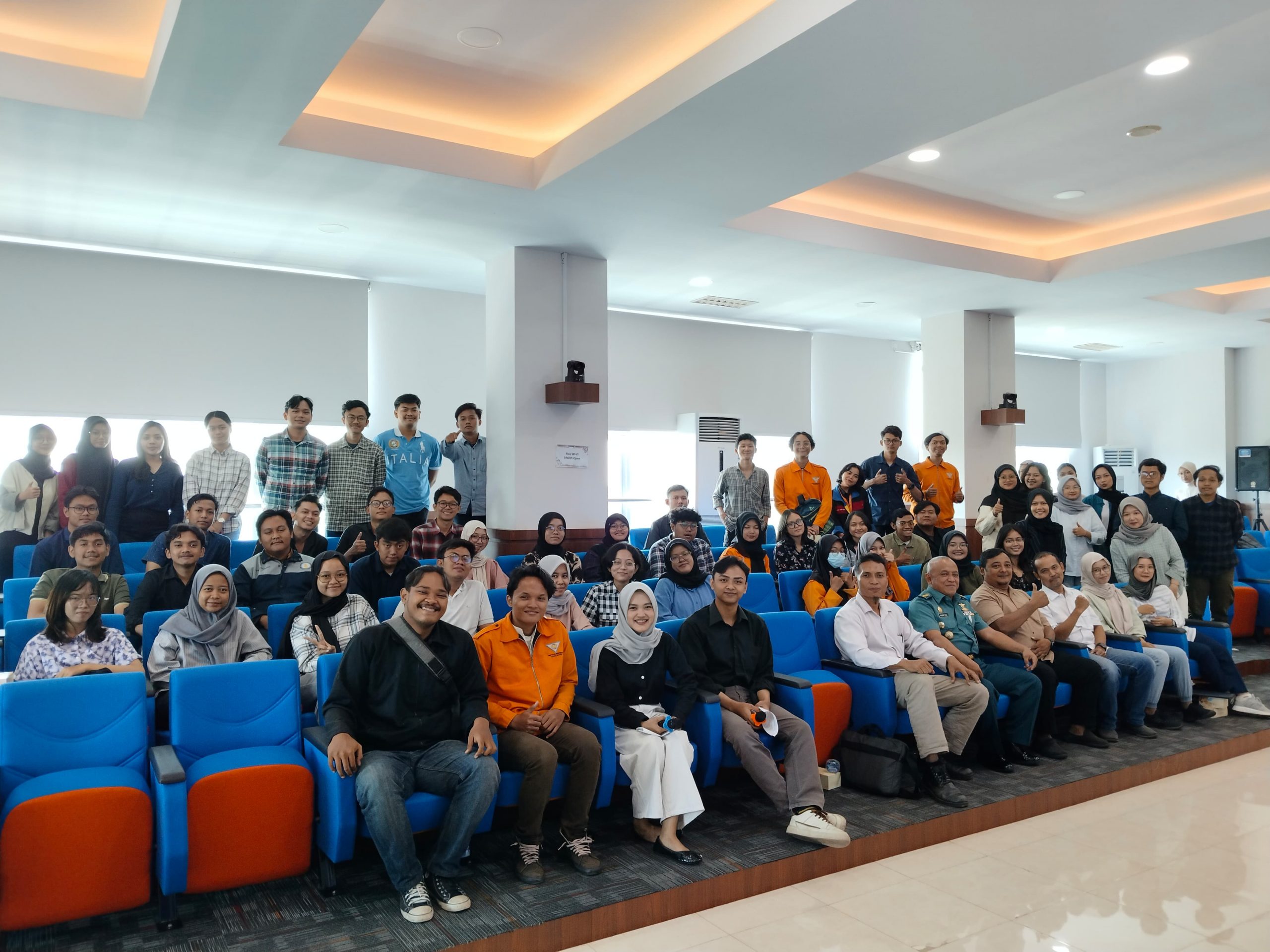
“My ancestors were sailors,” is a song that is memorized by almost all Indonesian children. Even though we have descendants of accomplished sailors, not all children in this country understand the importance of the sea for the future of this nation. In an effort to increase students’ awareness of the sea, the Geodetic Engineering Department held a public lecture by PUSHIDROS TNI AL (the Indonesian Navy’s Hydro-Oceanography Center) in the Theater Room on the 4th floor of the Prof. Building. Ir. Eko Budihardjo, M.Sc, Faculty of Engineering, Diponegoro University.
The activity, which was held on Thursday, 30 May 2024, was opened by the Head of the Geodetic Engineering Undergraduate Program, Faculty of Engineering, UNDIP, Dr. L M Sabri. The Head of the UNDIP Geodetic Engineering Undergraduate Study Program mandated the importance of students hearing directly about the latest scientific developments and hydrographic survey technology from the main players in hydrographic and oceanographic surveys in Indonesia. At the end of his remarks, the Head of Study Program expressed his deepest gratitude and appreciation for the willingness of Pushidros TNI AL, represented by Kadisserprof, to share knowledge and experience in the field of hydrographic survey.
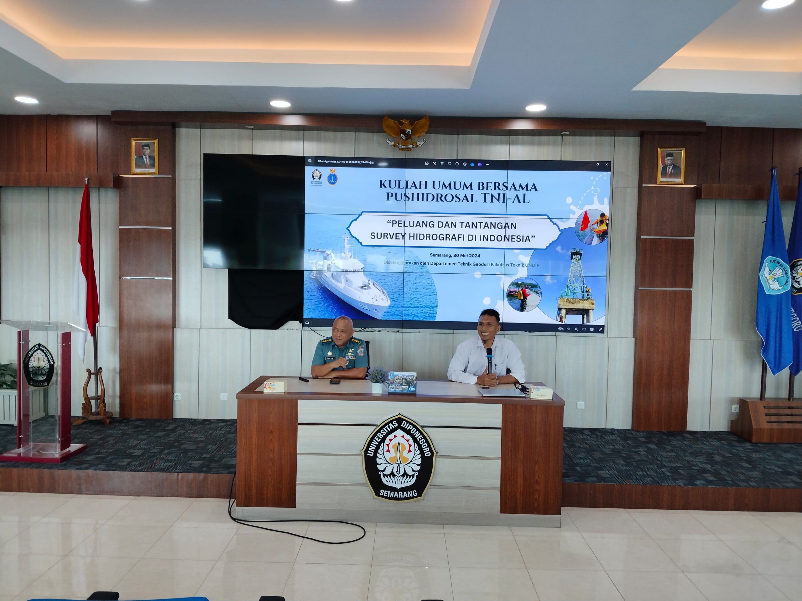
Public Lecture with the title Opportunities and Challenges of Hydrographic Surveys in Indonesia delivered by Marine Colonel (KH) Dr. Kukuh Suryo Widodo, S.Pd, M.T. The officer with a BA in Mathematics, a Masters in Geomatics and a Doctorate in Education explained the challenges faced by the Indonesian nation, which has an ocean area of no less than 6.4 million square km. “With a small fleet of survey vessels, there are still many uncharted waters. “This is a great opportunity for students to have a career in the field of hydrographic surveying,” he said. He also emphasized the importance of mastering mathematics, statistics and error theory, and information technology because hydrographic surveys do not merely produce paper maps. He explained that hydrographic surveys in the future will produce “living” digital maps or digital twins that can depict all objects in the ocean, including the seabed surface, seabed cables and pipes, and navigation objects that must always be updated.
In a discussion event guided by Bandi Sasmito, ST., MT as a hydrographic survey lecturer, Colonel Kukuh explained at length the procedures for carrying out practical work, final assignment research, or studying at Pushidros TNI AL. During his presentation, the mid-level officer who heads the hydrographic surveyor certification emphasized the importance of exercise to maintain health, discipline and responsibility to be able to work at sea. Jalesveva Jayamahe!